Portions of Sligo Creek Parkway have been reopened as of January 3, 2025
The portion of Sligo Creek Parkway between Wayne Avenue and Schuyler Road is open following the 2024 closure for construction of the Maryland Transit Administration’s (MTA) Purple Line Light Rail Project. Pavement and shoulders in the vicinity of the intersection will remain in temporary condition for several months as work continues along Wayne Avenue.
The Sligo Creek Trail north of Wayne Avenue remains detoured through the Sligo Cabin / Silver Spring International Middle School parking lot while construction continues. Montgomery Parks is working to obtain permits to rehabilitate the Sligo Creek Trail from Wayne Avenue to the Schuyler Road trail bridge and aims to complete that work in the spring of 2025, which will require temporary closures. Construction on the southern portion of the Wayne Avenue intersection will require the closure of Sligo Creek Parkway south of Wayne Avenue to Piney Branch Road, which is expected in the summer of 2025.
Please use caution in and around all active construction areas and obey detours.
Bridge Closure on Sligo Creek Trail
Effective immediately Montgomery Parks is closing the bridge connecting Sligo Creek Trail to the trailhead at Ladd Street and Nicholas Drive due to safety concerns. Parks staff assessed the situation and are working to fix it. We will provide updates when available. The public is advised to avoid the bridge area.
Discover Our Trails: Features, Maps, and Tips for Your Journey
This roughly 10.2-mile, hard-surface trail is one of the oldest in the County.
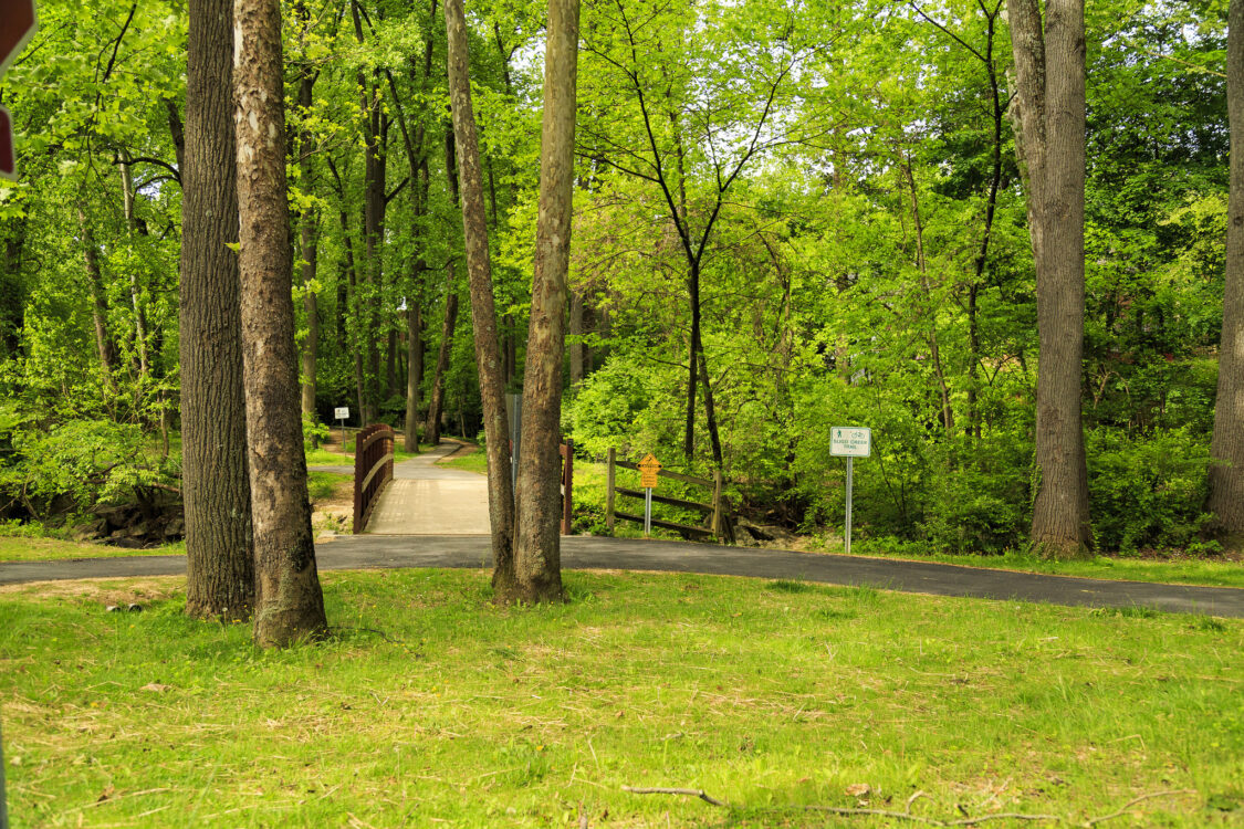
The trail is the heaviest-used facility in the stream valley park and provides recreation for persons of all ages and abilities. Several paved, and a few unpaved, trails are scattered throughout the park and connect other park facilities, schools, and neighborhoods to the main trail.
Unless noted otherwise on the map, trails marked “Natural Surface” and “Hard Surface” are “Shared by All” trails which includes hikers, bikers, and equestrians.
Trail Details Activities: Hiking, biking, rollerblading
Location: This park is located down-county and continues both north and south of the Beltway.
Trail length/surface: The Montgomery County portion of the trail is asphalt, 10.2 miles long and eight feet wide.
Trail characteristics: The trail has hilly sections and crosses busy streets. At the northern end of the trail, access to Wheaton Regional Park requires traveling on neighborhood streets and crossing Arcola Avenue, a very busy street with no traffic signal.
Drinking water: Yes, at various local parks along the trail route – see map.
Restrooms: Yes, at various local parks along the trail route – see map.
Access and parking: See map. There are numerous parking lots along the trail. Most offer access to the trails.