Great Seneca Stream Valley Park
Great Seneca Stream Valley Park consists of nine sections or units and has a total of 1,557 acres.
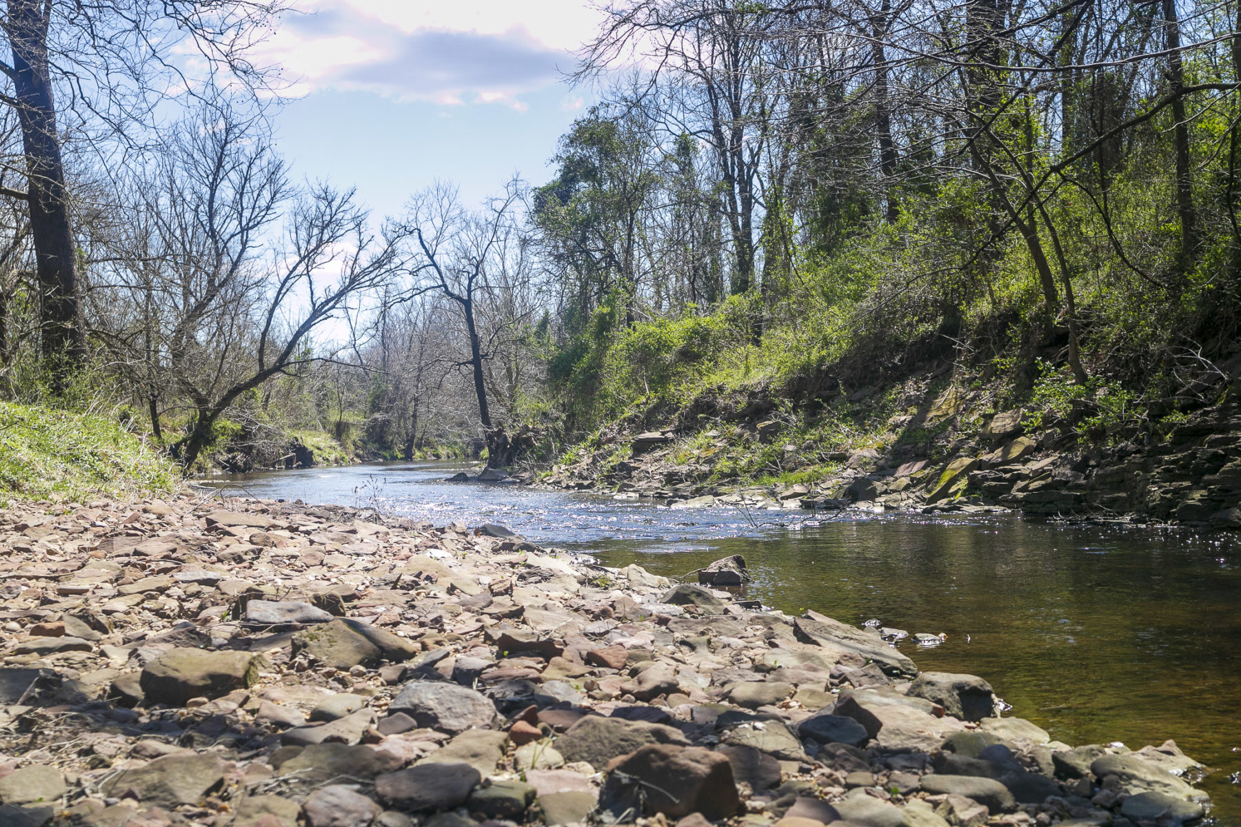
Unit 1, the largest of the nine, stretches from Frederick Road (MD 355) north to Watkins Mill Road. M-NCPPC acquired the park, home of the Seneca Creek Greenway Trail, in several stages beginning in 1968.
History: Early Village Life
Montgomery County is bordered by the Potomac River to the west and the Patuxent to the east. Several stream valleys—Rock Creek, Sligo Creek, Northwest Branch, Great Seneca, and Watts Branch among them—lace the country’s interior. For thousands of years, Indigenous groups lived along these river and stream banks and traveled their waters.
Settling in villages year-round instead of moving with the seasons meant local tribes could grow crops as well as hunt, fish, and gather. This transition to village life began about 3,000 years ago. The villages along the stream valleys were not as large as settlements in the fertile floodplain, such as Nacotchtank, which was along the southeast side of the Anacostia River.
Archaeologists have found pieces of clay pottery at these stream valley sites. Indigenous peoples made pottery vessels for food storage and preparation with distinctive patterns on the surface. Because these patterns changed over time archaeologists can estimate when the pottery was used.