Address: Old Angler’s Inn: 10790 MacArthur Blvd., Potomac MD 20854
Maximum Miles: 4.2 miles
Surface: Gravel
Amenities: Port-a-Johns
Meet at the parking lot across from Old Angler’s Inn: 10790 MacArthur Blvd., Potomac MD 20854. Please do NOT park at the Inn, even though they are (unfortunately) closed on Mondays; stay on the west side of MacArthur.
Nice bathrooms are next to the parking lot. If this lot is full there is a larger second lot just up the hill on the same side of the road, connected by a driveway, but also accessible from MacArthur.
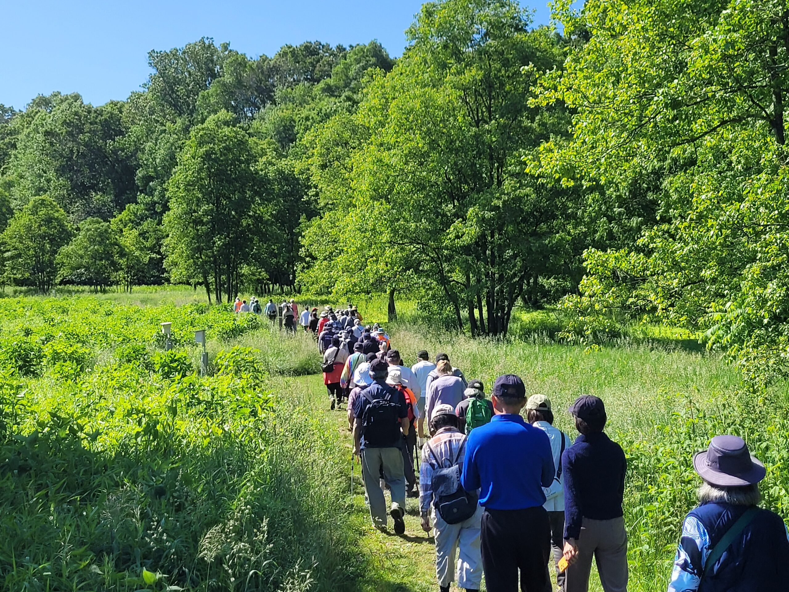
The core of this walk is a 3 mile loop that will cross the canal on an open, wooden bridge just below the parking lot, then return over the canal farther upstream on a larger, taller wooden bridge that requires using a flight of stairs. Once this bridge is crossed, the return is on Berma Rd., an old gravel road (now more of a trail), closed to motorized traffic, that looks down on the tow-path, returning directly to the parking lot.
For those wanting a longer walk, continuing upstream on the tow-path past the 2nd bridge, an additional 1/3 mile goes to the trail spur that overlooks Great Falls, and 1/3 miles past that, still on the tow-path, is the Great Falls tavern, with visitor’s center and toilets.
The total walk from the parking lot to the Great Falls tavern and back will be approximately 4.2 miles, with an additional 1/3 mile for anyone walking out to the (well worth it) falls overlook.
Trail surface is natural but in very good condition; no roots or rocks on either the tow-path or the Berma Rd.
Starting the loop in a clockwise direction is meant to minimize interaction with bicycles, and make use of the 100% shaded Berma Rd. For the return, though the tow-path itself still has a significant amount of shade on this stretch.