Discover Our Trails:
Features, Maps, and Tips for Your Journey
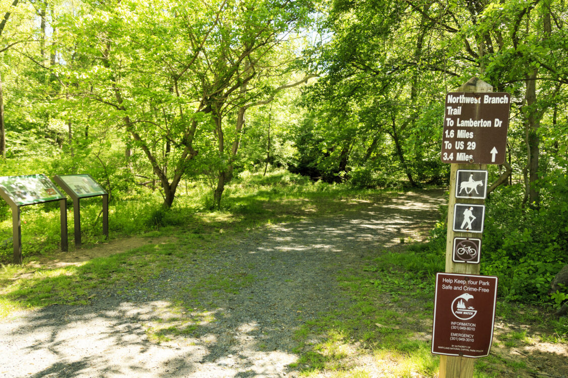
Located in one of our best natural areas, the Northwest Branch Stream Valley Park hosts both a hard surface trail and natural surface trails.
The natural surface trail is roughly 8 miles long and can be enjoyed by hikers, bikers, and equestrians. The north end of the trail is at Alderton Road near Bonifant Road, crosses Randolph Road and Colesville Road (Burnt Mills). Another 1.2 miles, and the hard surface trail portion begins, linking you to The Anacostia Trail.
The Rachel Carson Greenway Trail between Kemp Mill Road and Colesville Road is on the east side of the creek opposite the Northwest Branch Trail in that area. While the Northwest Branch Trail is open to all users, the Rachel Carson Greenway Trail offers a little more challenging experience and is exclusively for hikers. Equestrian riders are permitted between Valley Brook Drive and the trail connection to Northwest Branch Trail. Another hiking only experience is the Fall Line Trail south of Colesville Road that connects to the Northwest Branch Trail and Copperhead Run.
Copperhead Run is our newest trail and is a shared by all trail that offers great views on the stream valley below. The trail begins at the Colesville Road entrance (Burnt Mills) and runs parallel and intersects the Northwest Branch Trail, creating a system of stacked loops.
